Cofinanced by:
Compete Logo Portugal 2020 Logo União Europeia Logo

Find other stages here

  • Stage Duration
    32.3 Km
  • Duration
    08h00
  • Difficulty
    Difficult
  • Maximum Altitude
    99m
  • Type of Surface
    Earth and Asphalt

Through the Lezíria

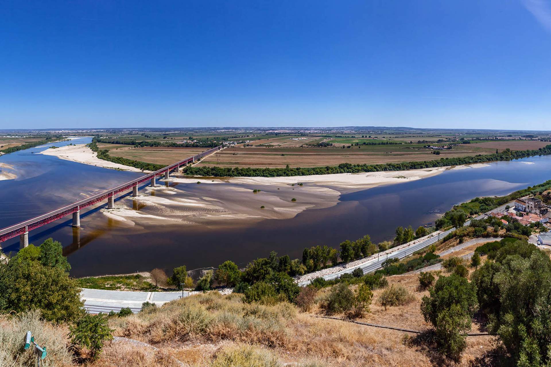
From here the Tagus flatlands unfold; a flat and fertile territory, occupied by large farms of agricultural production and properties that go on for as far as the eye can see. Down the middle, hugging the Tagus River and protected by an embankment of earth and rock, are small villages linked to the river, which bring to mind the populations of the Avieira Culture who colonised these lands,  still make them their livelihood. The origin of the Avieira Culture dates back to the 19th century, when many fishing families from Vieira de Leiria moved to the banks of the Tagus, and, albeit in smaller numbers, to the Sado River, in search of better living conditions.

Walking on the embankment provides a unique view of the Tagus River and its flatlands. A route to savour slowly, taking the time to talk with the locals of Valada, Reguengo or Port of Muge, who enjoy a slower pace of life. In the fields note the 19th century hydrometers, signs of the floods that change the way of life in these places and ensure the fertility of the lands. This route is a long stretch without any kind of supplies between Porto de Muge and Santarém, making for a journey of deep reflection.

Arrival in Santarém marks where the Tagus Way splits from the Way of St. James. The Gardens of the Portas do Sol are worth visiting here, these being a belvedere over the fertile lands of the Tagus Valley. It was here that the Old Castle fortress was located, which D. Afonso Henriques, first king of Portugal, conquered from the Moors in 1147. In the historic centre, the Church of Our Lady of Grace, with a beautiful flaming rosette carved from a single stone, is home to the burial place of Pedro Álvares Cabral, discoverer of Brazil, as well as the 16th century Cathedral of Santarém with its remarkable ceiling.

Read more > Read less
Points of Interest
Close List Points Interest
 
Zoom out
Zoom in
Print Map
Full Screen Map
Current Location
Caminhos da Fé
Obrigado!
Loading
Por favor aguarde...