Cofinanced by:
Compete Logo Portugal 2020 Logo União Europeia Logo

Find other Ways here

Nazaré to Fátima | 54 km | 3 days

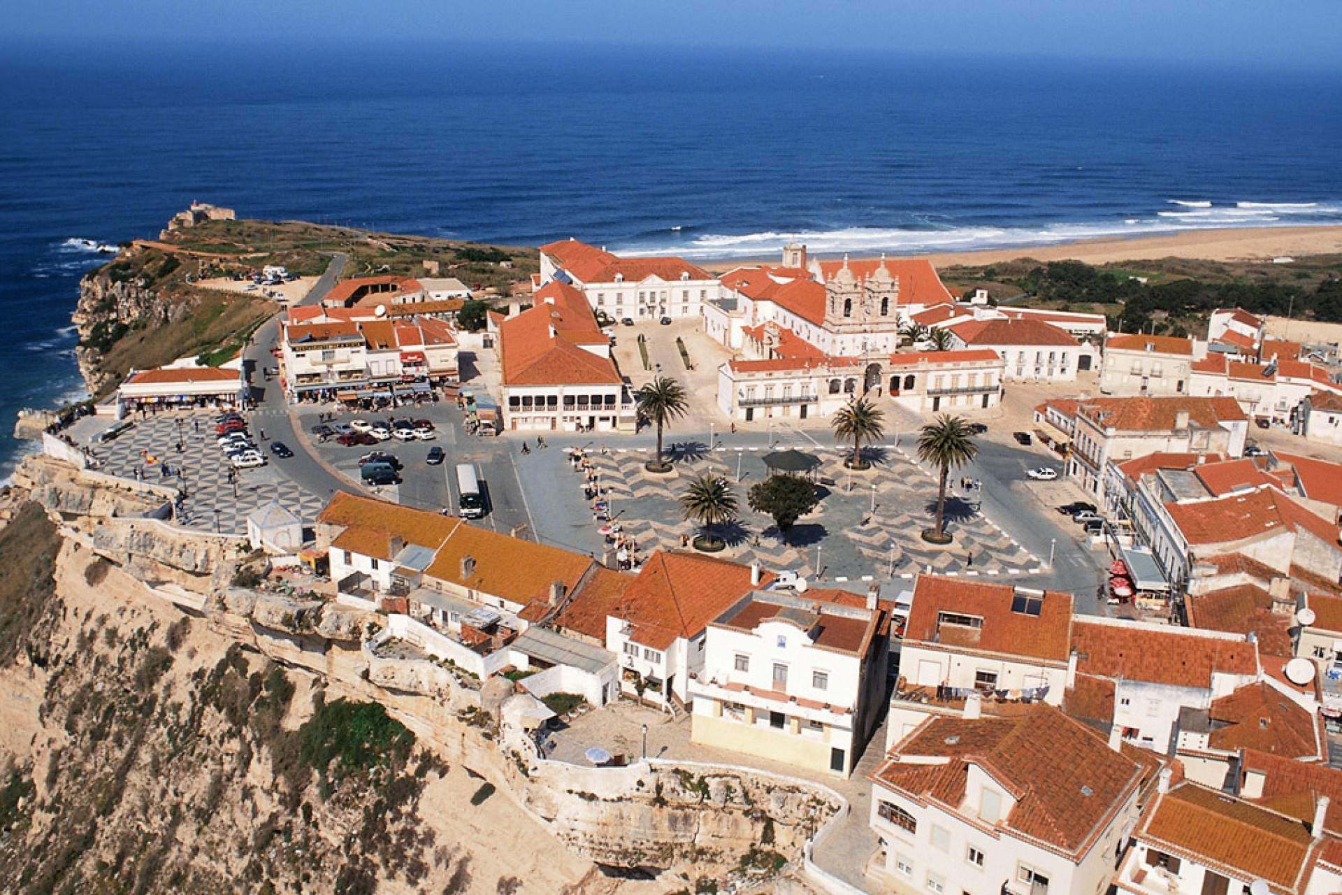
Stretching from the Atlantic coast to the mountainous interior, this route traverses an area that is typical of central Portugal. It joins two important Marian shrines: the historic Sanctuary of Our Lady of Nazaré, located on a promontory or finisterre above the sea, whose origin dates back to ancient times, and the remarkable Sanctuary of Our Lady of Fatima, built in the 20th century in Cova da Iria on the site of the apparitions of 1917.

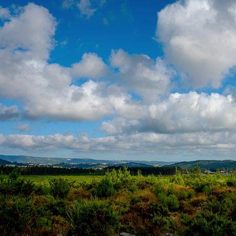
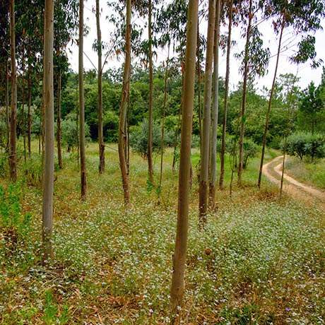
The landscape is diverse. It begins in the former territory of the Cistercian monks, heading through a maritime-influenced landscape, followed by an area of pine forest and floodplain. It then enters the heart of the Aire and Candeeiros mountain ranges and continues to the final destination through the distinctive São Mamede Plateau. The natural setting along the route is striking, with rural villages and small urban settlements emerging along the way. Churches, chapels, hermitages and small local shrines are reference points along the entire Route.

Get ready to start a three-day walk towards the Sanctuary of Fátima, exploring a territory characterised by multiple cultures and many centuries of history.

Always consult the map of the Nazaré Way and keep a copy handy (download above).

The Pilgrim of the Paths of Fátima credential is available to all those who walk the Path of Fátima.

Read more > Read less
Points of Interest
Close List Points Interest
 
Zoom out
Zoom in
Print Map
Full Screen Map
Current Location

Stages

2
Loading
Load More

Programmes

Load More
Caminhos da Fé
Obrigado!
Loading
Por favor aguarde...