Cofinanced by:
Compete Logo Portugal 2020 Logo União Europeia Logo

Find other stages here

  • Stage Duration
    23 Km
  • Duration
    06h30
  • Difficulty
    Difficult
  • Maximum Altitude
    287m
  • Type of Surface
    Earth and Asphalt

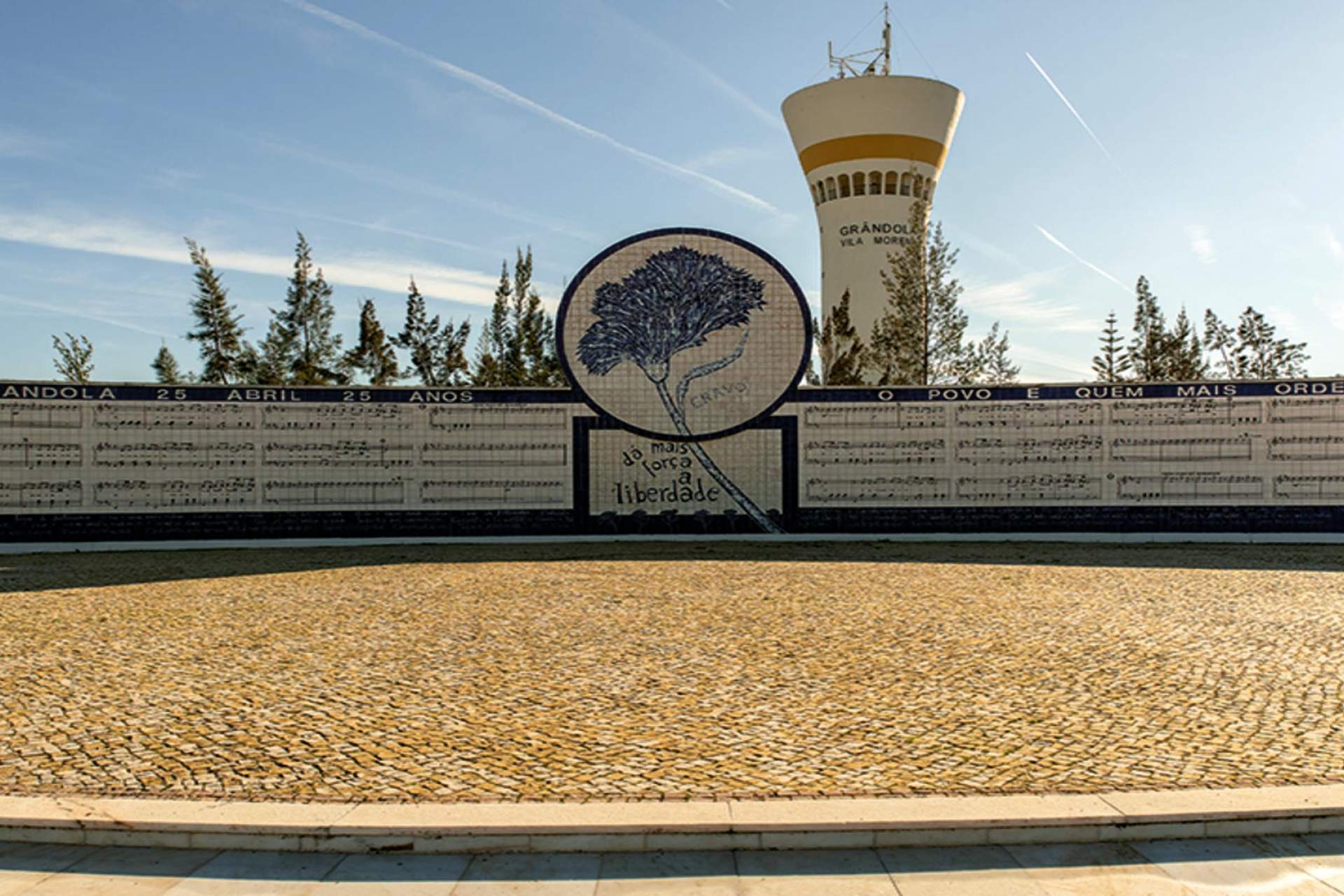
We escape the national road N120, looking for a passage on the right under the motorway IC33, on a side street that will take us to the village of Cruz de João Mendes. We walk isolated in the middle of nature, between the vegetation that thickens and where the cork oak dominates, although the true genocide that is reaching this emblematic tree becomes evident. With our backpack heavier with some iron items, we re-enter the N120 for a few moments until entering the village of Santa Maria da Serra. We look for lunch and, to “digest”, we visit the village, starting with the House Museum Manuel Chainho. We are once again immersed in the bucolic scenery of Grândola mountain range and, after many curves and counter-curves, we arrive at the Sanctuary of Nossa Senhora da Penha de França, at the top of an elevation. We reject the road leading there and we go down the trail on the left, which leads us to the valley of Grândola stream, which we follow until the N120 blocks our passage. We climb the pedestrian aerial passage to overcome the IC1 and enter in Grândola, first by Rua das Pontes and then by Rua Vasco da Gama, until the square where the Tourism Office is located.

We escape the national road N120, looking for a passage on the right under the motorway IC33, on a side street that will take us to the village of Cruz de João Mendes. We walk isolated in the middle of nature, between the vegetation that thickens and where the cork oak dominates, although the true genocide that is reaching this emblematic tree becomes evident. With our backpack heavier with some iron items, we re-enter the N120 for a few moments until entering the village of Santa Maria da Serra. We look for lunch and, to “digest”, we visit the village, starting with the House Museum Manuel Chainho. We are once again immersed in the bucolic scenery of Grândola mountain range and, after many curves and counter-curves, we arrive at the Sanctuary of Nossa Senhora da Penha de França, at the top of an elevation. We reject the road leading there and we go down the trail on the left, which leads us to the valley of Grândola stream, which we follow until the N120 blocks our passage. We climb the pedestrian aerial passage to overcome the IC1 and enter in Grândola, first by Rua das Pontes and then by Rua Vasco da Gama, until the square where the Tourism Office is located.

Read more > Read less
Points of Interest
Close List Points Interest
 
Zoom out
Zoom in
Print Map
Full Screen Map
Current Location
Caminhos da Fé
Obrigado!
Loading
Por favor aguarde...